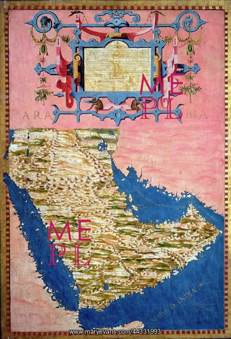
Map of Sixteenth Century Arabia
Map of Sixteenth Century Arabia, from the Sala delle Carte Geografiche (Hall of Geographical Maps), by Bonsignori, Stefano and Danti, Egnazio, located in the Palazzo Vecchio (Palazzo della Signoria) Florence
Picture No
10489919
Media ID
44331993
Size
3543px x 5209px
(20.9MB)
Credit
Raffaello Bencini/Alinari Archives, Florence / Mary Evans
Usage Restrictions
Editorial use only. For other uses please clear with Mary Evans in advance
Source
Sala Carte Geografiche o del Mappamondo, Palazzo Vecchio, Florence, Danti Egnazio (1536-1586);;Pellegrino Rainaldi Dant
Date
1565-1581