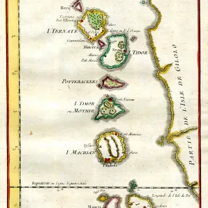
16th century Map of China and South East Asia
16th century Map of China and South East Asia, Siam, Borneo, Indonesia, Philippines and Japan
Picture No
10721663
Media ID
44350883
Size
1765px x 1311px
(4.3MB)
Credit
©Antiquarian Images/Mary Evans
Source
Woodcut - Linschotten
Date
c. 1596