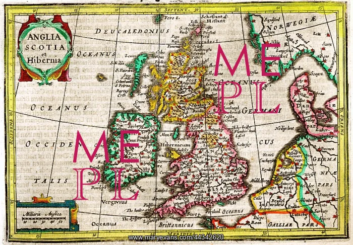
17th century Map of the British Isles
17th century Map of the British Isles, Anglia, Scotia and Hibernia - England Scotland and Ireland
Picture No
10721519
Media ID
44342620
Size
3753px x 2609px
(15.4MB)
Credit
©Antiquarian Images/Mary Evans
Source
Copperplate Engraving - Mercator / Hondius
Date
c. 1628
Pick your License
1628 Anglia Cartographical Hibernia Hondius Isles Mercator Scotia
Features In These Collections
> Contributors > ANT