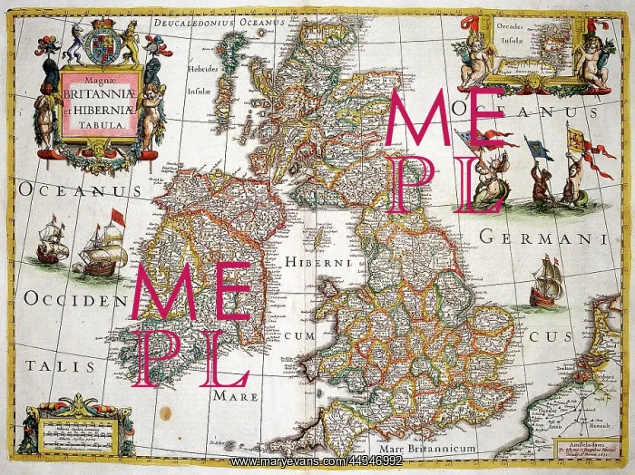
17th century Map of Great Britain and Ireland
17th century Map of Great Britain and Ireland - Magnae Britanniae et Hiberniae Tabula
Picture No
10721693
Media ID
44346992
Size
1960px x 1468px
(5.0MB)
Credit
©Antiquarian Images/Mary Evans
Source
Copperplate Engraving - Mercator
Date
c. 1631