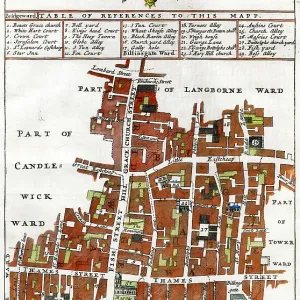
18th century city Map of London, England
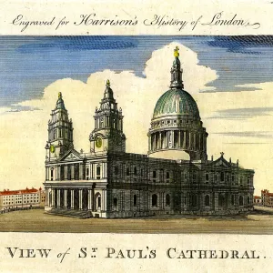
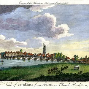
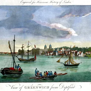
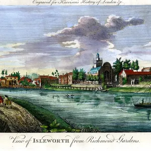
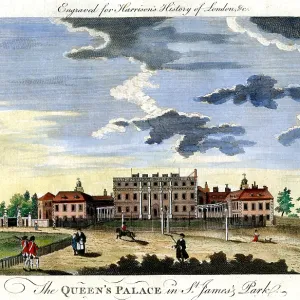
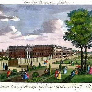
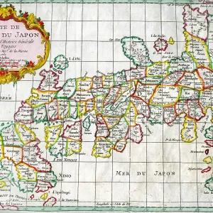
18th century city Map of London, England with inset views of Hampton Court, Windsor Castle, St. James Palace, King's Hospital at Greenwich and Chelsea
Picture No
10721666
Media ID
44350901
Size
1896px x 1598px
(5.3MB)
Credit
©Antiquarian Images/Mary Evans
Source
Copperplate Engraving - Homann Heirs
Date
c. 1793