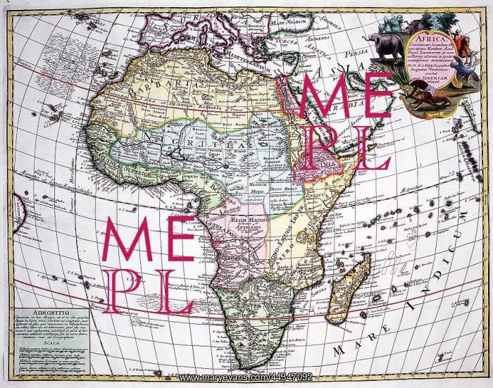
: 18th century Map of Africa


18th century Map of Africa

Africa

Picture No
10721791
Media ID
44347092
Size
1784px x 1404px (3.9MB)
Credit
©Antiquarian Images/Mary Evans
Source
Copperplate Engraving - L'Isle, De
Date
c. 1732

Pick your License

Please tell us the book title or ISBN

Please supply intended use


1732 L Isle Lisle


Features In These Collections

> Contributors > ANT

Gallery Wall Inspiration

18th century Map of Africa
Moluccas
Ducal Palace (Doges Palace), Venice, Italy
St Pauls Cathedral
Peacock
Chelsea From Battersey
Greenwich From Deptford
Chiswick From The River
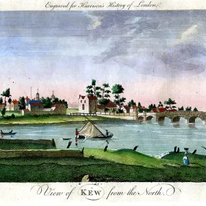
Kew From The North
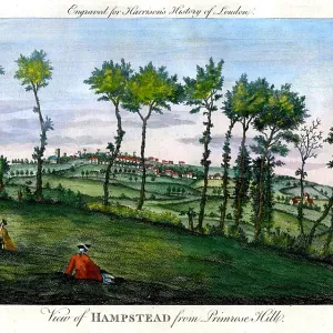
Hampstead From Primrose Hill
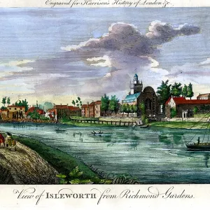
Isleworth From Richmond Gardens
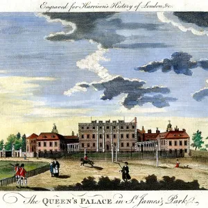
Queens Palace St James Park
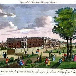
Palace and Gardens Hampton Court
Mapa Hummaristico Da Europea - Guerra 1939
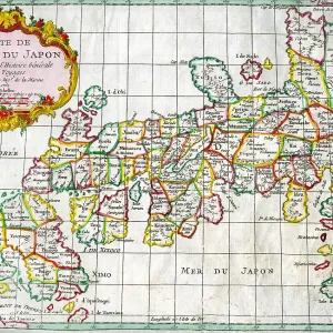
Japan
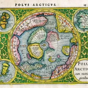
Arctic, North Pole
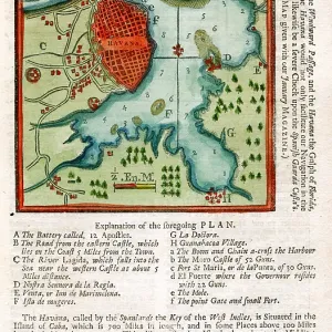
Havanna
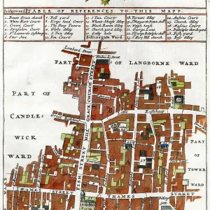
Billingsgate Ward
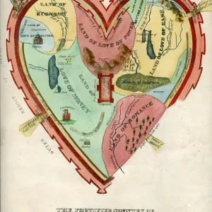
Man's Heart
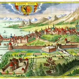
Geneva
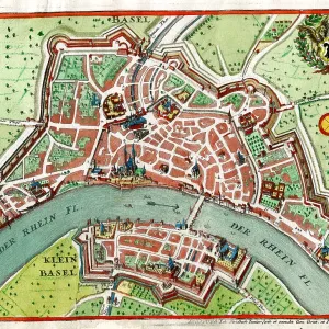
Basel
Augsburg
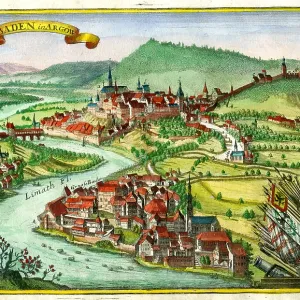
Baden In Argow
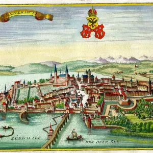
Rapperswyl
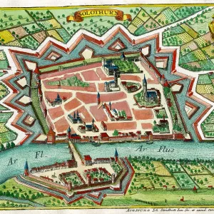
Solothurn
Raphael Durbin
Dante Aligere


© Copyright Mary Evans Picture Library - All Rights Reserved 2026
Powered by Media Storehouse®
We accept all major payment options so you can pay for the things you need in the way that is most convenient for you
Facebook     Twitter     Instagram