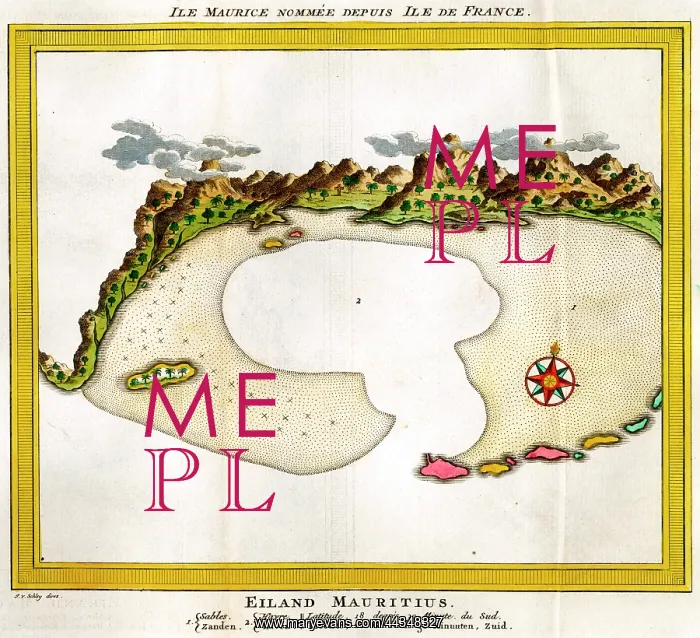
18th century Map of the Island of Mauritius
18th century Map of the Island of Mauritius, also known as the Ile Maurice or Isle de France
Picture No
10721917
Media ID
44348327
Size
3281px x 2990px
(10.4MB)
Credit
©Antiquarian Images/Mary Evans
Source
Copperplate Engraving - Schley
Date
18th Century