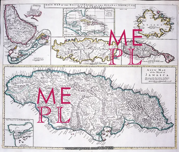
18th century Map of the West Indies and Caribbean
18th century Map of the West Indies and Caribbean - A New Map of the English Empire in the Ocean of America or West Indies (Jamaica, Port Royal, Bermuda, Barbados, Bridgetown, Tobago, Antigua, St. Christophers, and Generall Chart of the West Indies)
Picture No
10721865
Media ID
44347655
Size
1905px x 1622px
(4.6MB)
Credit
©Antiquarian Images/Mary Evans
Source
Copperplate Engraving - Senex
Date
c. 1721
Pick your License
1721 Antigua Barbados Bermuda Bridgetown Christophers Jamaica Senex Tobago
Features In These Collections
> Contributors > ANT