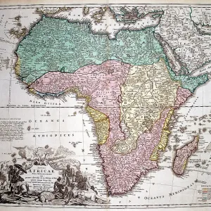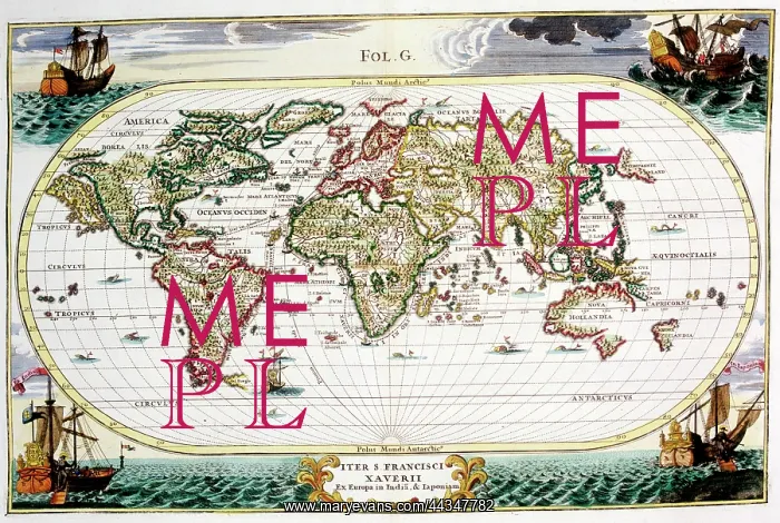
18th century Map of the World
18th century Map of the World - Iter S. Francisci Xaverii ex Europa in India, and Japoniam
Picture No
10721825
Media ID
44347782
Size
5000px x 3355px
(18.0MB)
Credit
©Antiquarian Images/Mary Evans
Source
Copperplate Engraving - Sherer
Date
c. 1703