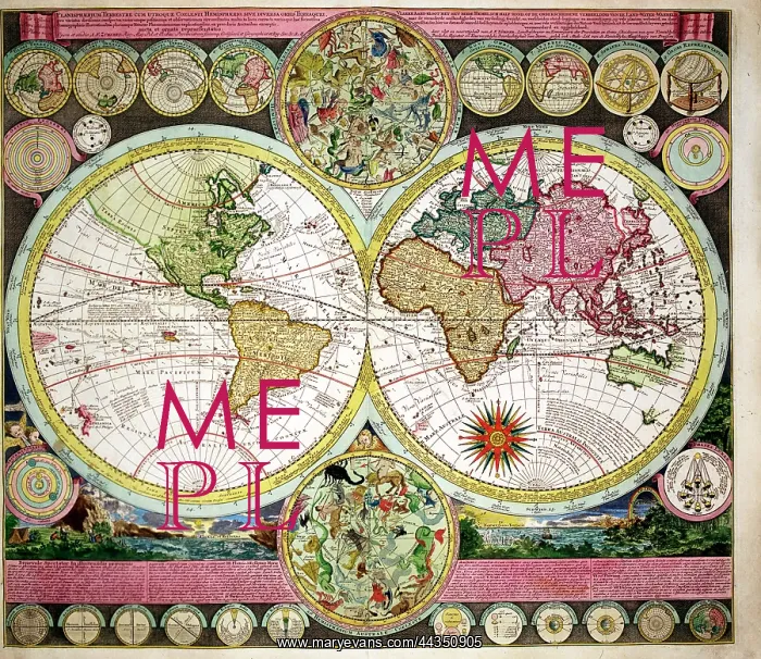
18th century Map of the World showing routes of explorers
18th century Map of the World showing the routes of explorers - Magellan, Dampier, Tasman, Gaetani and Chaumont - Planisphaerium Terrestre
Picture No
10721726
Media ID
44350905
Size
5000px x 4330px
(23.8MB)
Credit
©Antiquarian Images/Mary Evans
Source
Copperplate Engraving - Zurner
Date
c. 1730
Pick your License
1730 Chaumont Dampier Explorers Hemisphere Hemispheres Magellan Planisphaerium Routes Tasman Terrestre
Features In These Collections
> Contributors > ANT