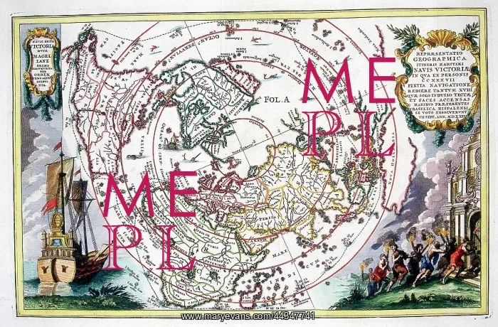
18th century polar centred Map of the World
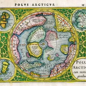
18th century polar centred Map of the World (World Navigation) with the route of the voyage of Magellan - Repraesentatio Geographica Itineris Maritimi Navis Victoriae
Picture No
10721826
Media ID
44347741
Size
1811px x 1189px
(3.2MB)
Credit
©Antiquarian Images/Mary Evans
Source
Copperplate Engraving - Sherer
Date
c. 1700