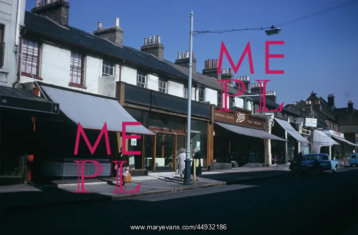


 : Erith High Street


Erith High Street

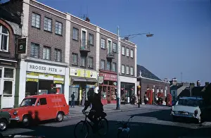
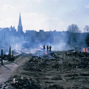
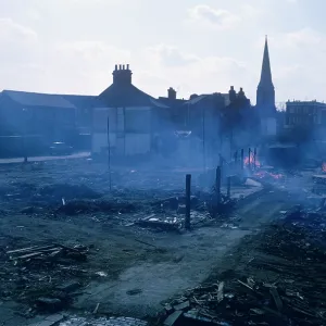
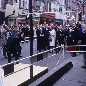
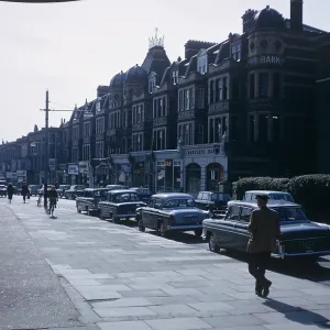
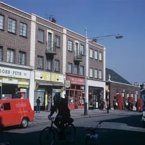
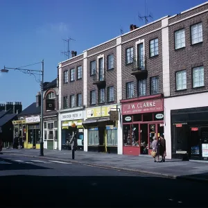
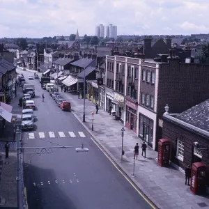
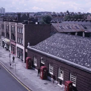
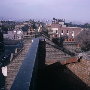
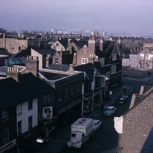
View of Erith High Street showing Boots the chemist in the background, prior to redevelopment in 1966

Picture No
11943880
Media ID
44932186
Size
3393px x 2226px (5.0MB)
Credit
© The Bexley Archive Image Collection, The London Borough of Bexley / Mary Evans Picture Library
Source
Bexley Archive Collection - The Ray Russell Photographic Collection
Date
1966
Pick your License

Please tell us the book title or ISBN

Please supply intended use


Demolition Erith Redevelopment


Features In These Collections

> Contributors > BEX

You May Also Like


Gallery Wall Inspiration

Three Blackbirds Blendon
Franks Park, Belvedere
Carlton Road, Northumberland Heath
Two Shop Fronts, 69 High Street, Sidcup
Clare Road, Erith
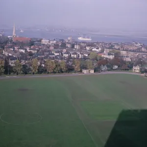
Recreation Ground, Erith
Lower Bexley Road, Erith
Recreation Ground, Erith
Woolwich Road, Opposite Bedwell Road, Belvedere
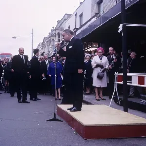
Erith Town Centre Official Demolition Ceremony, 1966
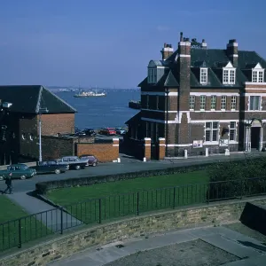
Erith Police Station
Grounds of Royal Alfred Seamens Home Belvedere
Erith Town Centre Official Demolition Ceremony, 1966
Recreation Ground, Erith
Pier Road, Erith
The Westminster Bank on Erith High Street
Erith High Street
Erith High Street
Erith High Street
Erith High Street
Erith High Street
Erith High Street
Mill House, Mayplace Road
The Silk Printers Crayford
The Stables, Gibson's Farm, East Wickham
Cottage in Wickham Street
The Co-op Welling High Street


© Copyright Mary Evans Picture Library - All Rights Reserved 2026
Powered by Media Storehouse®
We accept all major payment options so you can pay for the things you need in the way that is most convenient for you
Facebook     Twitter     Instagram