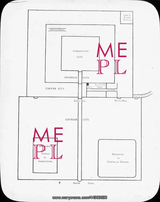
China - Sketch map of Peking
Lantern slide of Sketch map of Peking (Beijing). Shows Chinese City in the bottom half, with the enclosure of temple of agriculture to the left and enclosure of temple of heaven to the right. The outer square of the top half denotes Tartar city, the middle is the Imperial city and the inner square denotes the Forbidden City. The Forbidden City was the Chinese imperial palace from the Ming Dynasty to the end of the Qing Dynasty. It is located in the middle of Beijing, China, and now houses the Palace Museum. For almost 500 years, it served as the home of emperors and their households, as well as the ceremonial and political center of Chinese government.. Part of Box 159 Pekin, slide no. 16
Picture No
10902803
Media ID
44906590
Size
3756px x 4760px
(2.6MB)
Credit
©The Boswell Collection, Bexley Heritage Trust / Mary Evans
Source
Lantern slide
Date
circa 1890s