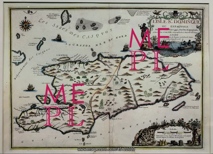
Map of Santo Domingo, Musee d'Aquitaine, Bordeaux
Map of the Island of Santo Domingo in the West Indies, engraving with watercolour, published 1723, by Nicolas de Fer, 1646-1720, in the Chatillon collection, in the Musee d'Aquitaine, Cours Pasteur, Bordeaux, Aquitaine, France. Picture by Manuel Cohen
Picture No
13432321
Media ID
45122623
Size
5906px x 4256px
(9.4MB)
Credit
Manuel Cohen / Mary Evans
Source
Photograph by Manuel Cohen
Pick your License
Restrictions Only for Ireland and United Kingdom and United States Of America
Aquitaine Bordeaux Chatillon Daquitaine Domingo Gironde Hispaniola Santo
Features In These Collections
> Contributors > COH