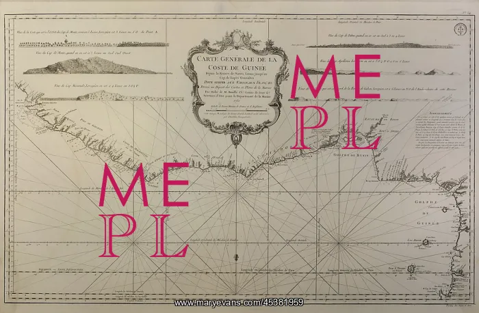
Nautical chart, Musee d'histoire de Nantes, Nantes, France
Map and nautical chart of the coast of Guinea from the Sierra Leonz river to Cape Lopes Consalvo, for use by a French slave ship, 1750, in the Musee d'histoire de Nantes, in the Chateau des ducs de Bretagne, in Nantes, Pays de la Loire, France. By the 18th century, Guinea was no longer used for slave sales, but remained a stop off point for slave ships off the African coast. The museum opened in 2007 and covers the history of Nantes, focusing on slavery, world wars, industrialisation and the chateau. Picture by Manuel Cohen
Picture No
13459030
Media ID
45381959
Size
5906px x 3866px
(6.1MB)
Credit
Manuel Cohen / Mary Evans
Source
Photograph by Manuel Cohen
Pick your License
Restrictions Only for Ireland and United Kingdom and United States Of America
1750 Bretagne Cross-section Dhistoire Ducs Dukes Guinea Leone Lopes Nantes Nautical Sierra Topography
Features In These Collections
> Contributors > COH