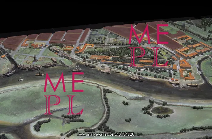
Relief map, Corderie Royale, Arsenal, Rochefort, France
Rochefort arsenal, relief map, scale 1:1000, 1990, in the Corderie Royale, built 1666-69 for making rigging and ropes, in the Arsenal de Rochefort, a naval base and dockyard founded 1665 and in use until 1926, on the Charente estuary in Rochefort, Charente-Maritime, France. Now the Centre International de la Mer, it is used as a museum complex. The arsenal and Corderie are listed as a historic monuments. Picture by Manuel Cohen
Picture No
14066653
Media ID
45494726
Size
8268px x 5393px
(10.6MB)
Credit
© Manuel Cohen
Source
Manuel Cohen
Date
2009
Pick your License
Restrictions Only for Ireland and United Kingdom and United States Of America
1000 1665 1666-69 Charente Charente-maritime Corderie Dockyard Estuary Nouvelle-aquitaine Rigging Rochefort Rochefort-sur-mer Ropes Royale
Features In These Collections
> Contributors > COH