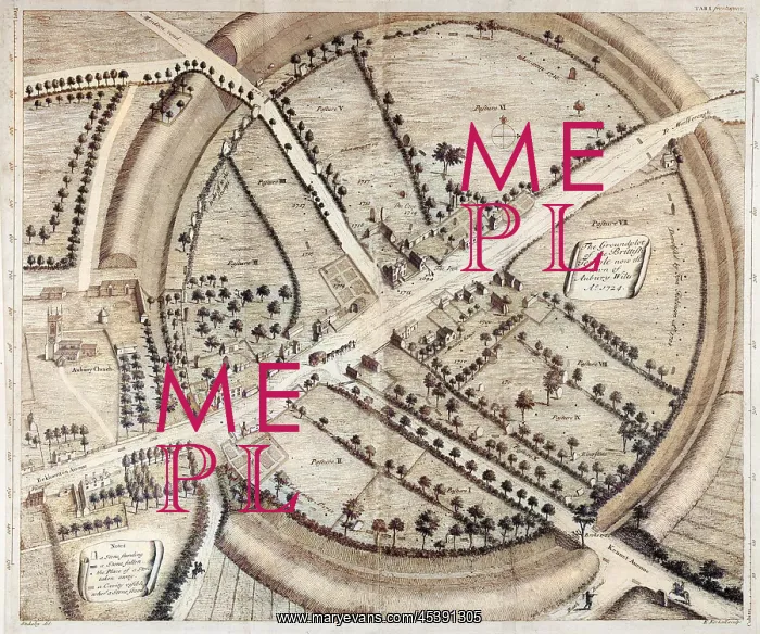


 : Avebury - William Stukeley Map


Avebury - William Stukeley Map

A beautifully drawn overhead plan of the stone circles and embankment ditches at Avebury. Stukeley's accuracy is impressive, charting every stone, pasture and building

Picture No
13725972
Media ID
45391305
Size
3493px x 2916px (2.3MB)
Credit
Mary Evans Picture Library
Source
Engraved by Kirkall after Stukeley from Avebury, A Temple of the British Druids' by W.Stukeley (frontispiece). Image digitally colourised
Date
1743

Pick your License

Please tell us the book title or ISBN

Please supply intended use


1743 Accuracy Avebury Beautifully Charting Circles Ditches Earthworks Embankment Impressive Overhead Pasture Stukeley


Features In These Collections

> Contributors > COM

You May Also Like


Gallery Wall Inspiration

HERBERT SCHIRMER
LORENZO RICCI
Carnival in a street in Rome, Italy
SARAWAK / BROOKE HOME
Rome saved from Gauls by geese
LAMBALLE (FREEMAN)
Schirmer abduction, 1967
UFOS/ADAMSKI
BRITISH OFFICIAL, INDIA
Turkish Soldiers
WALLENSTEIN'S CAMP
WALL STREET (SCHILLING)
HOMER/THEVET/1584
ARMING A KNIGHT
FAUJAS DE SAINT-FOND
Albert Richard Smith
Paris, France - Hotel de Ville
1st Earl of Strafford
LLOYDS - MAIN HALL
MARCO POLO/DISGUISE
HOMER/CROWNED/LAURELS
LAURENS KOSTER
WALTER LANDOR (BROWN)
Roman Wedding Gifts
GRANT ALLEN
Jean Sibelius
THOMAS JEFFERSON


© Copyright Mary Evans Picture Library - All Rights Reserved 2026
Powered by Media Storehouse®
We accept all major payment options so you can pay for the things you need in the way that is most convenient for you
Facebook     Twitter     Instagram