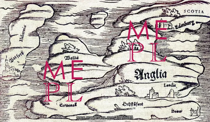
A map of Britain, mid 16th century
A map of Britain in the mid 16th century, detailing Edinburgh, Dover, Cornwall, Waterford and London
Picture No
14100854
Media ID
45755625
Size
5799px x 3390px
(4.1MB)
Credit
Mary Evans Picture Library
Source
Map by Sebastian Manster in Cosmographia, mid 16th century
Date
Mid 16th century