
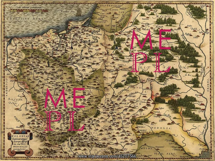
1570 map of Poland. Poland's political ?
1570 map of Poland. Poland's political boundaries have changed dramatically over time. This map shows a small, landlocked Poland. From Abraham Ortelius altas, Theatrvm orbis terrarvm
Picture No
10654236
Media ID
45207566
Size
2550px x 1904px
(2.4MB)
Credit
Mary Evans / Everett Collection
Usage Restrictions
Strictly editorial use only. Please contact Mary Evans if any other use required
Pick your License
Restrictions Only for Ireland and United Kingdom
1570 Altas Boundaries Changed Dramatically Landlocked Orbis Ortelius Terrarvm Theatrvm
Features In These Collections
> Contributors > EVR












