
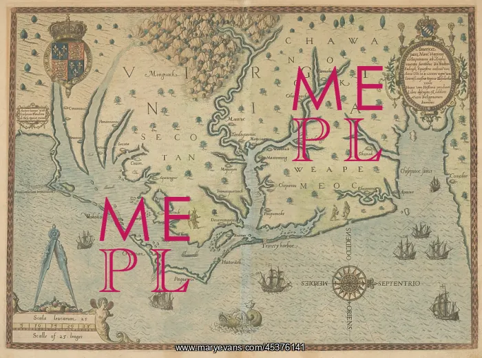
A 1595 map of the coast of Virginia and present-day
A 1595 map of the coast of Virginia and present-day North Carolina, from Chesapeake Bay (Chesepiooc Sinus) at far right, to Cape Lookout at far left. Theodor de Bry published this engraving of Whites original water color in 1590, in Thomas Hariot's, A Briefe and True Report of the New Found Land of Virginia
Picture No
13125805
Media ID
45376141
Size
3000px x 2226px
(2.0MB)
Credit
Mary Evans / The Everett Collection
Source
Courtesy Everett Collection
Pick your License
Restrictions Only for Ireland and United Kingdom
1590s Algonquin Carolina Chesapeake Colonization Elizabethan Lcgr2001 Lcgr2020 Names Roanoke Theodor
Features In These Collections
> Contributors > EVR












