
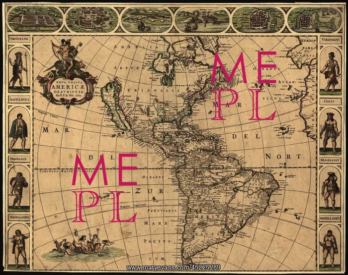
1660 map of the Western Hemisphere, indicating ?
1660 map of the Western Hemisphere, indicating the geographic knowledge and European settlement. California is shown as an island, and Northwestern North America is undefined. Borders of the map depict Native Americans, and major Spanish cities
Picture No
10673436
Media ID
45225289
Size
2550px x 2019px
(2.2MB)
Credit
Mary Evans / Everett Collection
Usage Restrictions
Strictly editorial use only. Please contact Mary Evans if any other use required
Pick your License
Restrictions Only for Ireland and United Kingdom
Borders Cartagena Cusco Depict Domingo Havana Hemisphere Indicating Knowledge Northwestern Santo Undefined
Features In These Collections
> Contributors > EVR












