
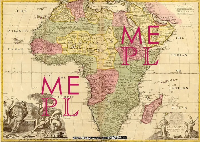
1725 English map of Africa identifying kingdoms ?
1725 English map of Africa identifying kingdoms and within the large regions Barbary, Sahara Desert, Negroland, and Guinea in northwest Africa. Southern Africa lands are names after tribal groups such as the Hottentots. Arabia is shown on the upper right
Picture No
10674576
Media ID
45242282
Size
2550px x 1820px
(1.9MB)
Credit
Mary Evans / Everett Collection
Usage Restrictions
Strictly editorial use only. Please contact Mary Evans if any other use required
Pick your License
Restrictions Only for Ireland and United Kingdom
Arabia Barbary Continent Guinea Hottentots Identifying Kingdoms Lands Names Northwest Regions Sahara
Features In These Collections
> Contributors > EVR












