
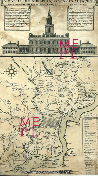
1752 map of Philadelphia, Pennsylvania
1752 map of Philadelphia, Pennsylvania, the Delaware River, and regional settlements. Map includes an engraving of the State House, now known as Independence Hall
Picture No
10654226
Media ID
45207252
Size
1422px x 2550px
(3.5MB)
Credit
Mary Evans / Everett Collection
Usage Restrictions
Strictly editorial use only. Please contact Mary Evans if any other use required
Pick your License
Restrictions Only for Ireland and United Kingdom
1752 Delaware Germantown Includes Settlements
Features In These Collections
> Contributors > EVR












