
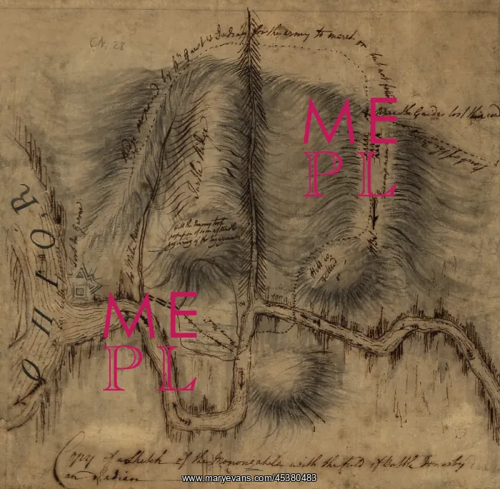
1755 map of the Forks of the Ohio, where the
1755 map of the Forks of the Ohio, where the Monongahela and Allegany Rivers merge, becoming the Ohio River. On the left, at the confluence, is a diagram of Fort Duquesne, the French Fort that was the immediate cause of the French and Indian War, 1754-64
Picture No
13124406
Media ID
45380483
Size
3000px x 2936px
(1.7MB)
Credit
Mary Evans / The Everett Collection
Source
Courtesy Everett Collection
Pick your License
Restrictions Only for Ireland and United Kingdom
1750s Convergence Duquesne Lcgr1904 Lcgr2019 Monongahela Ohio
Features In These Collections
> Contributors > EVR












