
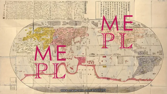
1785 Japanese world map based on Jesuit ?
1785 Japanese world map based on Jesuit missionary, Matteo Ricci's 1602 maps, and made during Japan's Age of National Isolation (1636-1854). Map shows continents and oceans of the world at about 1600 and is indicative of the effect of Japan's isolation fr
Picture No
10654240
Media ID
45207279
Size
2550px x 1436px
(2.0MB)
Credit
Mary Evans / Everett Collection
Usage Restrictions
Strictly editorial use only. Please contact Mary Evans if any other use required
Pick your License
Restrictions Only for Ireland and United Kingdom
Continents Effect Indicative Isolation Jesuit Matteo Missionary Oceans Ricci
Features In These Collections
> Contributors > EVR












