
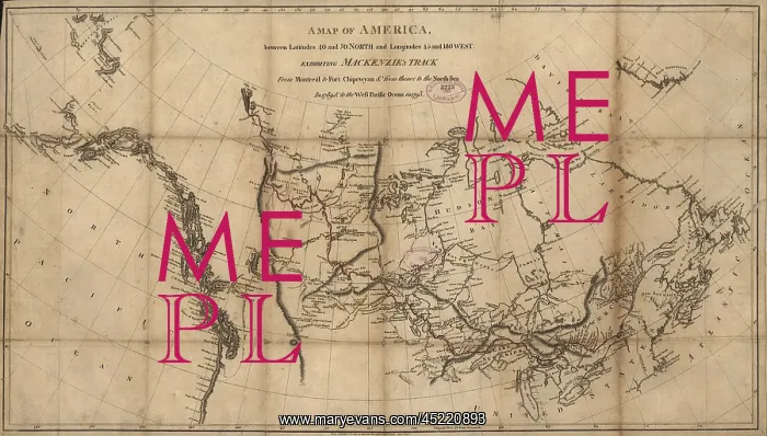
A 1801 map of North America showing Alexander ?
A 1801 map of North America showing Alexander Mackenzie's track from Montreal to Fort Chipewyan, to the north sea, then to the west Pacific Ocean from 1789 to 1793. The course of this exploration was the first transcontinental crossing of North America a
Picture No
10671964
Media ID
45220893
Size
2550px x 1450px
(1.2MB)
Credit
Mary Evans / Everett Collection
Usage Restrictions
Strictly editorial use only. Please contact Mary Evans if any other use required
Pick your License
Restrictions Only for Ireland and United Kingdom
Mackenzie Montreal Transcontinental
Features In These Collections
> Contributors > EVR












