
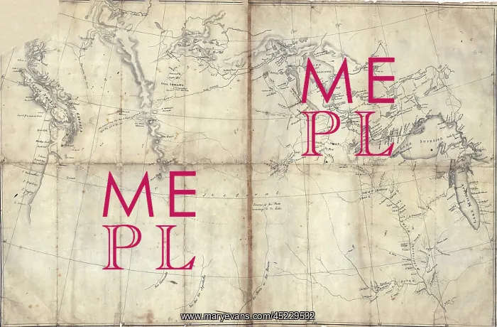
1803 Lewis and Clark map, with annotations ?
1803 Lewis and Clark map, with annotations in brown ink by Meriwether Lewis, tracing the Mississippi and Missouri Rivers, Lakes Michigan, Superior, and Winnipeg, and the country onwards to the Pacific. Manuscript map by Nicholas King, ca. 1803
Picture No
10664841
Media ID
45229532
Size
2550px x 1676px
(2.9MB)
Credit
Mary Evans / Everett Collection
Usage Restrictions
Strictly editorial use only. Please contact Mary Evans if any other use required
Pick your License
Restrictions Only for Ireland and United Kingdom
Annotations Louisiana Meriwether Michigan Mississippi Missouri Northwestern Onwards Oregon Purchase Superior Tracing Winnipeg
Features In These Collections
> Contributors > EVR












