
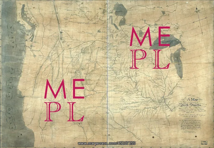
1805 Lewis and Clark map of part of the ?
1805 Lewis and Clark map of part of the continent of North America compiled from informed travelers. Map covers western North America, from Great Lakes to the Pacific Ocean, including southern Canada and northern Mexico. Copied by Nicholas King from a ske
Picture No
10654231
Media ID
45207259
Size
2550px x 1768px
(4.0MB)
Credit
Mary Evans / Everett Collection
Usage Restrictions
Strictly editorial use only. Please contact Mary Evans if any other use required
Pick your License
Restrictions Only for Ireland and United Kingdom
Compiled Continent Copied Informed Louisiana Meriwether Northwestern Purchase Travelers
Features In These Collections
> Contributors > EVR












