
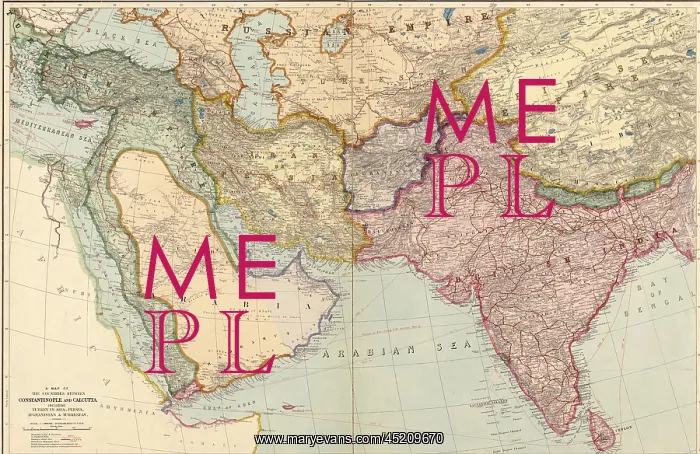
1912 English map of the countries between ?
1912 English map of the countries between Constantinople and Calcutta: including Turkey in Asia, Persia, Afghanistan and Turkestan. Map shows international boundaries, railways, steamship routes, submarine telegraph lines, and British and Russian spheres
Picture No
10661576
Media ID
45209670
Size
2550px x 1654px
(1.7MB)
Credit
Mary Evans / Everett Collection
Usage Restrictions
Strictly editorial use only. Please contact Mary Evans if any other use required
Pick your License
Restrictions Only for Ireland and United Kingdom
Afghanistan Arabia Armenia Boundaries Calcutta Iran Persia Routes Spheres Turkestan
Features In These Collections
> Contributors > EVR












