
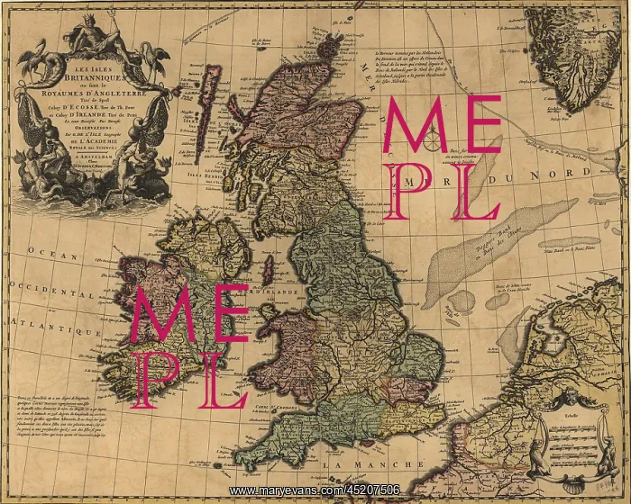
British Isles in early 18th century map ?
British Isles in early 18th century map showing internal divisions, all of which were united under United Kingdom government
Picture No
10654202
Media ID
45207506
Size
2550px x 2040px
(2.0MB)
Credit
Mary Evans / Everett Collection
Usage Restrictions
Strictly editorial use only. Please contact Mary Evans if any other use required












