
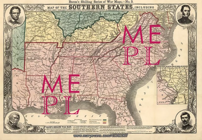
Civil War era map of the seceding Confederate
Civil War era map of the seceding Confederate States of American, 1861. It includes railroads, county lines, towns, state capitals, roads, and blockading Union ships along the southern coast from Delaware to Texas
Picture No
13123232
Media ID
45382907
Size
3000px x 2087px
(2.7MB)
Credit
Mary Evans / The Everett Collection
Source
Courtesy Everett Collection
Pick your License
Restrictions Only for Ireland and United Kingdom
Appalachian Blockading Boundaries Confederate Forts Lcgr1808 Lcgr2018 Mcclellan Mississippi Railroads Seceding Stonewall Winfield
Features In These Collections
> Contributors > EVR












