
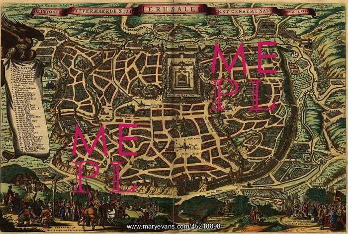
Imagined map from 1650, depicting Jerusalem ?
Imagined map from 1650, depicting Jerusalem as it existed in the Roman era. Lower section shows Christ's crucifixion and the crowning of King Solomon. Map shows many sites, including the Temple of Jerusalem
Picture No
10667560
Media ID
45218898
Size
2550px x 1719px
(2.1MB)
Credit
Mary Evans / Everett Collection
Usage Restrictions
Strictly editorial use only. Please contact Mary Evans if any other use required
Pick your License
Restrictions Only for Ireland and United Kingdom
Crowning Crucifixion Existed Imagined Moses Sites Solomon
Features In These Collections
> Contributors > EVR












