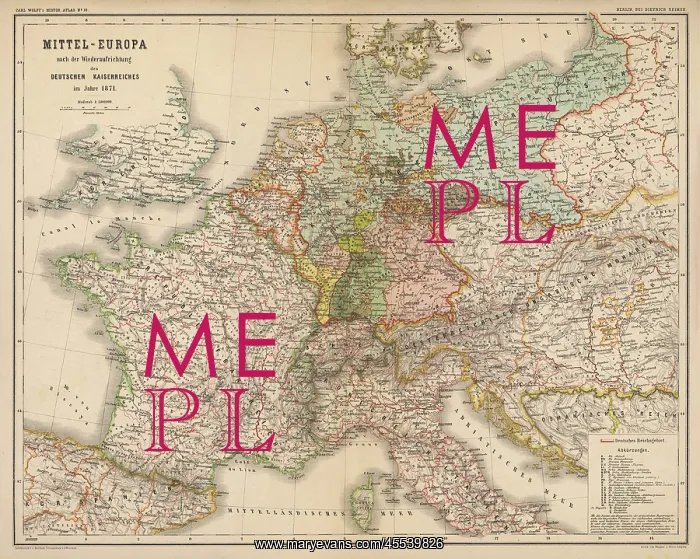
Map - Europe - Germany 1871
Imperial Germany after the Franco- Prussian War, showing Alsace and Lorraine as part of the country, not to mention huge chunks of Poland in East Prussia
Picture No
12004694
Media ID
45539826
Size
4455px x 3557px
(7.4MB)
Credit
Mary Evans Picture Library
Source
from Carl Wolff's Atlas
Date
1871