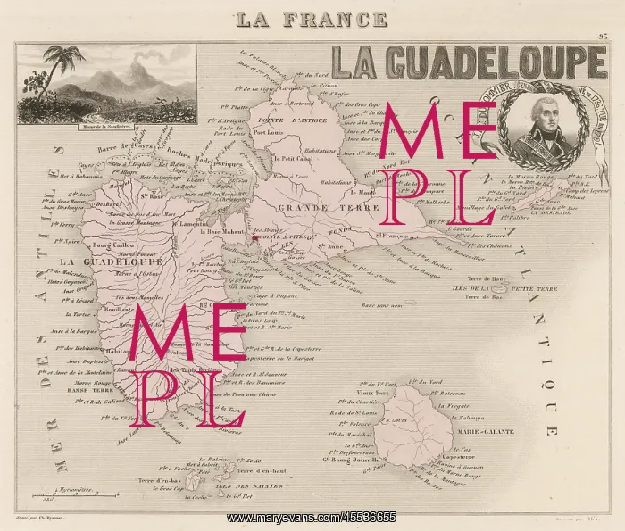
Map of Guadeloupe
The two main islands, Guadeloupe and Grande Terre, are separated by a narrow channel : they were discovered by Columbus in 1493
Picture No
12005027
Media ID
45536655
Size
4871px x 4138px
(6.7MB)
Credit
Mary Evans Picture Library
Source
Vuillemin, engraved by Dyonnet, from a French atlas
Date
mid-19th century