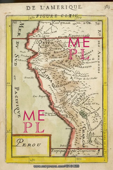
Map of Peru - 1683 - Mallet
Perou. A map showing a coastal part of South America on the South Pacific. Both the equator and tropic of Capricorn are given
Picture No
12007692
Media ID
46164389
Size
2964px x 4441px
(4.5MB)
Credit
Mary Evans Picture Library
Source
Hand-coloured copper engraving by Alain Manesson Mallet Description de l'Univers Vol.V 1683 page 383 plate CLXIV
Date
1683