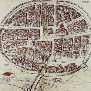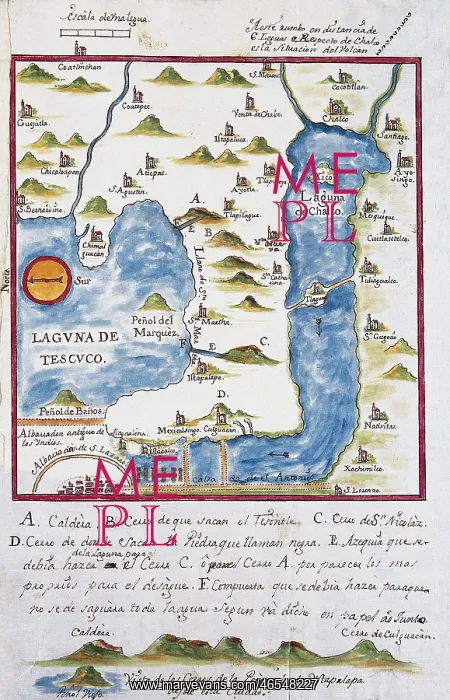
Map of the archbishopric of Mexico (1767), by
Map of the archbishopric of Mexico (1767), by Jose Antonio Alzate. View of the area of Tenochtitlan, the lagoons of Chalco and Tescuco. From the Lorenzana-Borbon Collection. SPAIN. Toledo. State Public Library
Picture No
10686729
Media ID
46548227
Size
3486px x 5416px
(11.2MB)
Credit
Mary Evans/J. Bedmar/Iberfoto
Source
SPAIN. CASTILE-LA MANCHA. Toledo. State Public Library
Pick your License
Archbishopric Borbon Cartographic Cartographies Chalco Colonialist Colonies Colonization Imperialism Imperialist Lagoons Mejico Mexicans Settlements Tenochtitlan Toledo
Features In These Collections
> Contributors > IBF