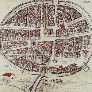
Portolan chart, 1587. Map of England, Scotland
Portolan chart, 1587. Map of England, Scotland and Ireland with the north France coast. Realized in Messina. Facsimile. Renaissance art. Miniature Painting
Picture No
10681998
Media ID
46572391
Size
3591px x 5093px
(7.2MB)
Credit
Mary Evans/J. Bedmar/Iberfoto
Pick your License
Atlas Castles Citadel Compass Facsimile Manuscripts Messina Miniatures Portolan Realized
Features In These Collections
> Contributors > IBF