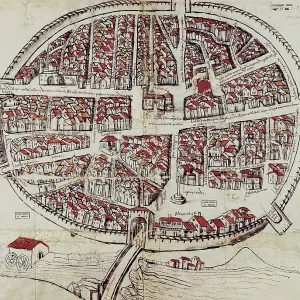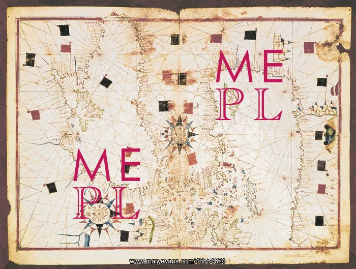
Portolan chart, 16th c. Map of the Eastern Mediterranean
Portolan chart, 16th c. Map of the Eastern Mediterranean Sea and the Black sea. (Anonymous, it is believed to be made by Joan Martines or by his workshop). Renaissance art. Miniature Painting. SPAIN. Barcelona. Barcelona Maritime Museum
Picture No
10683508
Media ID
46554824
Size
4961px x 3746px
(7.2MB)
Credit
Mary Evans/M.C.Esteban/Iberfoto
Source
SPAIN. CATALONIA. Barcelona. Barcelona Maritime Museum
Pick your License
Believed Cartographic Cartographies Castles Citadel Commerces Manuscripts Martines Mediterraneans Miniatures Portolan Portulano
Features In These Collections
> Contributors > IBF