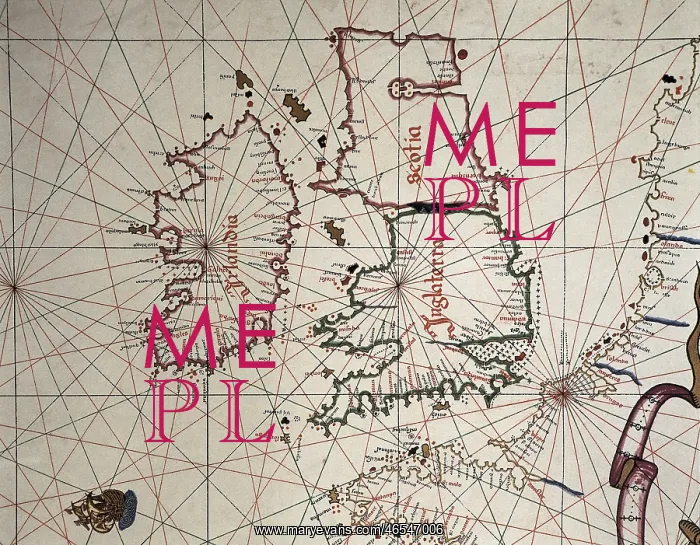
Spanish map of England, Scotland and Ireland
A Spanish map of England, Scotland and Ireland and the coast of northern France from the time of the Anglo Spanish War. Joan Martines (1556-1591)
Picture No
10410063
Media ID
46547006
Size
4704px x 3663px
(5.8MB)
Credit
Mary Evans / Iberfoto
Date
1587