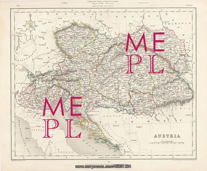
A map of the Austrian Empire in the
A map of the Austrian Empire in the mid-19th century. From: Historischer Atlas osterreich. Manfred Scheuch. Colored Lithograph
Picture No
10961208
Media ID
46091334
Size
3543px x 2927px
(3.8MB)
Credit
Mary Evans/brandstaetter images
Source
Coloured Lithograph - n.a
Pick your License
Restrictions Only for Ireland and United Kingdom and United States Of America
Atlas Historischer Manfred Osterreich Scheuch
Features In These Collections
> Contributors > IMG