
Astronaut - Comets - NASA - Space - Spacecraft - UFOs
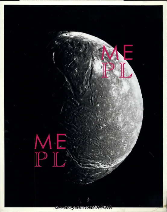
Apr. 17 This mosaic of the four highest -resolution images of Ariel represents the most detailed Voyager 2 picture of this satellite of Uranus. The images were taken through the clear filter of Voyager's narrow -angle camera on Jan, 1986, at a distance of about 130, 000 kilometers (80, 000 miles). Ariel about 1, 200 km (750 mi) in diameter, the resolution here is 2.4 km (1.5 mi). Much of Ariel;'s surface is densely pitted with craters 5 to 10 km (3 to 6 mi) across. These craters are close to the threshold of detection in this picture. Numerous valleys and fault scarps crisscross the highly pitted terrain. Voyager scientists believe the valleys have formed over down - dropped fault blocks (graben) apparently, extensive faulting had occurred as a result of expansion and stretching of Ariel's crust. The largest fault valleys, near the terminator at right, as will as a smooth region near the center of this image, have been partly filled with deposits that are younger and less heavily cratered than the pitted terrain. narrow, somewhat sinuous scrape and valleys have been formed, in turn, in these young deposits. It is not yet clear whether these sinuous features have been formed by faulting or by the flow fluids. The voyager project is managed for NASA by the Jet propulsion laboratory
Pick your License
Restrictions Only for United Kingdom
Apparently Ariel Ariels Believe Blocks Clear Cratered Craters Crisscross Crust Densely Deposits Detailed Detection Diameter Dropped Expansion Extensive Fault Faulting Filled Filter Flow Fluids Formed Heavily Highest Highly Kilometers Less Managed Nasa Numerous Occurred Partly Pitted Propulsion Represents Resolution Result Satellite Scientists Scrape Sinuous Somewhat Stretching Terminator Terrain Threshold Uranus Valleys Voyager Voyagers Whether
Features In These Collections
> Contributors > KEY


