
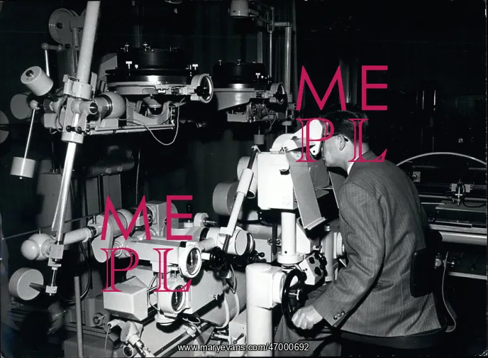
Photo surveyor using stereoplanometer, Bonn University
Aug. 08, 1962 - The Stereoplanometer is the most valuable instrument at the Institute for Photogrammetry of Bonn University, Germany. It is used daily for aerial photographs taken by special cameras to comprehend any corner of the Federal Republic; basis for perfect survey is given. The stereoplanometer makes it possible to see two consecutive aerial pictures as area model. These topographies are palpated and automatically transferred to a demonstration table. In that way a perfect map is produced from palpated lines out of manual work. Photo Shows: A photo surveyor at the observation post of the stereoplanometer
Pick your License
Restrictions Only for United Kingdom
Automatically Basis Bonn Cameras Consecutive Possible Survey Surveyor Transferred Valuable
Features In These Collections
> Contributors > KEY


