
United Kingdom - Ireland
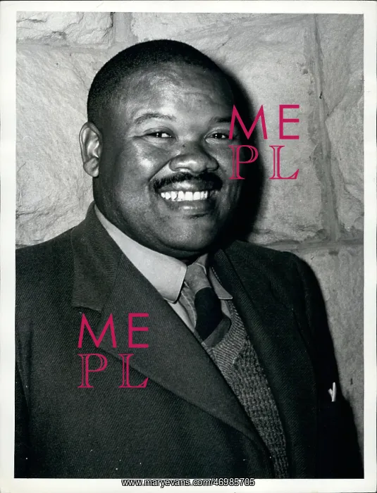
Aug. 08, 1960 - Basutoland Colony: Basutoland, with an area of some 11, 700 square miles, is about the size of Belgium. An enclave within the Union of South Africa, its boundaries are those of Natal Province in the south, and of the Orange Free State in the north. About one quarter in the west in lowland; the rest is highland, rising to 11, 000 feet in the east in the Drankensberg Range. In the centre is a high plateau, varying from 9, 000 to 10, 500 feet, where the Union's two largest rivers, the Orange and the Tugela, have their source. Basutoland is an African country with no European settlers or landowners, no industries, and an entirely agricultural economy. The British Administration combines with a hereditary chieftaniship whose head is the Paramount Chief. Population 638, 000 Africans, 2, 000 Europeans, 900 Euroafricans and Asians. Photo shows Chief S.S. Matete, a member of the Executive Council
Pick your License
Restrictions Only for United Kingdom
Africans Asians Basutoland Boundaries Combines Enclave Entirely Hereditary Highland Industries Landowners Lowland Matete Natal Plateau Settlers Source Tugela Varying
Features In These Collections
> Contributors > KEY


