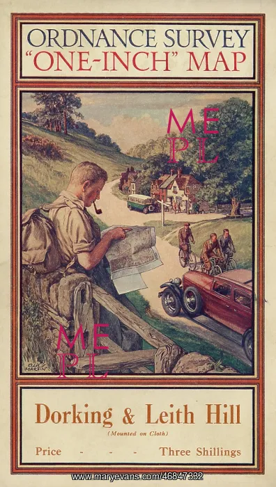
Ordnance Survey map cover - Dorking and Leith Hill
Front cover of an Ordnance Survey map covering the Dorking and Leith Hill area of Surrey. The cover features a hiker or rambler leaning against a wall and smoking a pipe as he consults his map. Cyclists and motoring day trippers can also be seen, along with a charming roadside inn
Picture No
10504968
Media ID
46847332
Size
3267px x 5779px
(13.2MB)
Credit
Mary Evans Picture Library
Source
Illustration by Ellis Martin on the front cover of an Ordnance Survey One-Inch Map
Date
c.1925