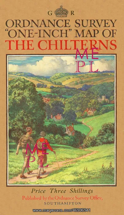
Ordnance Survey one-inch map of the Chilterns
Ordnance Survey one-inch map of the Chilterns with an illustration of a couple of hikers following a pathway through rolling, verdant Home Counties countryside
Picture No
12021072
Media ID
46906941
Size
3260px x 5653px
(8.7MB)
Credit
Mary Evans Picture Library
Source
Original Ordnance Survey fold-out map cover with illustration by Ellis Martin
Date
1930