
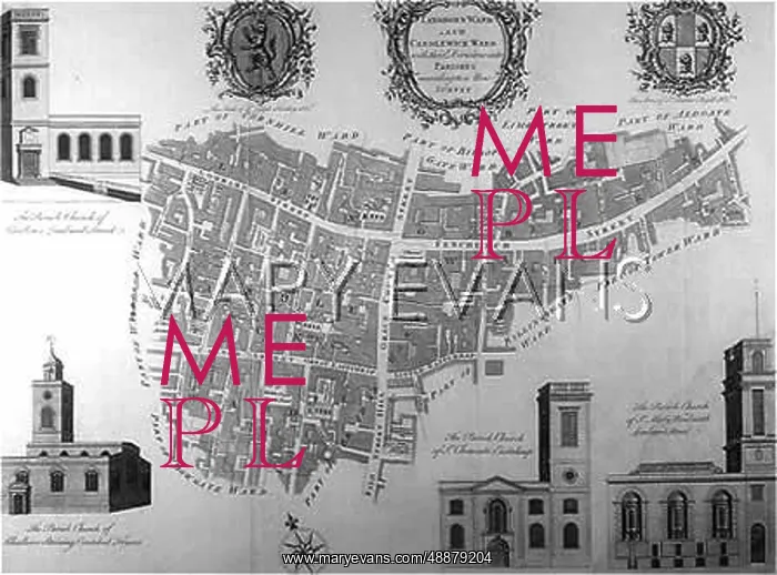
1755 MAP OF LONDON CITY
A map of Langborn Ward and Candlewick Ward with their divisions into parishes according to a new survey
Hi-Res image available upon request
Picture No
10024229
Media ID
48879204
Credit
Mary Evans Picture Library
Source
Plans inscribed to Sir Joseph Hankey and Sir Charles Afgill Engraved by B Cole
Date
1755


