
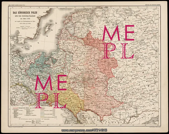
MAP/EUROPE/POLAND 1772
A German map of Poland and its neighbours in the late 18th century
Picture No
10046847
Media ID
47214943
Size
4413px x 3501px
(3.7MB)
Credit
Mary Evans Picture Library
Source
Bischoff and Sulzer in Carl Wolff's Historische Atlas
Date
1772


