
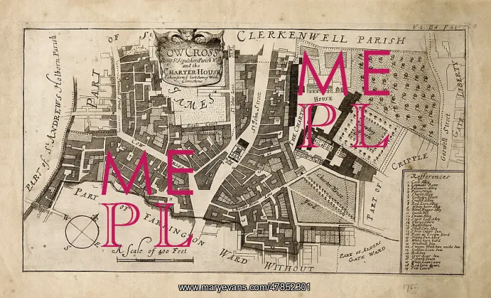
Map of Farringdon, London 1755
Map of the Farringdon area of London in 1755: Cowcross Street, St John Street and the Charterhouse with Clerkenwell Parish to the northwest
Picture No
13900344
Media ID
47852301
Size
5826px x 3537px
(5.9MB)
Credit
Mary Evans Picture Library
Source
Original map
Date
1755
Pick your License
1750s 1755 Charterhouse Clerkenwell Cripplegate Farringdon Hicks
Features In These Collections
> Contributors > MEP


