
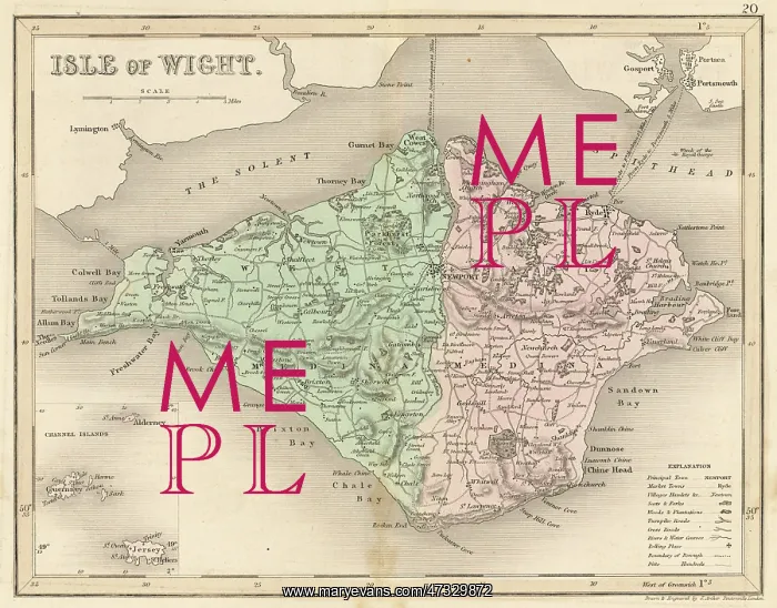


 : Map - Isle of Wight circa 1857


Map - Isle of Wight circa 1857

Map of the Isle of Wight (County series)

Picture No
10114004
Media ID
47329872
Size
3665px x 2867px (2.2MB)
Credit
Mary Evans Picture Library
Source
Drawn and engraved by J Archer in Dugdale, England & Wales
Date
circa 1857

Pick your License

Please tell us the book title or ISBN

Please supply intended use


C1857 Wight


Features In These Collections

> Contributors > MEP


© Copyright Mary Evans Picture Library - All Rights Reserved 2026
Powered by Media Storehouse®
We accept all major payment options so you can pay for the things you need in the way that is most convenient for you
Facebook     Twitter     Instagram