
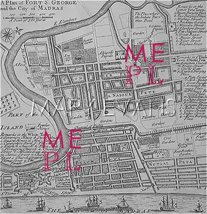
MAP OF MADRAS / 1810
A Plan of the City of Madras, showing the Fort of St.George in the bottom left-hand corner
Hi-Res image available upon request
Picture No
10093196
Media ID
48891080
Credit
Mary Evans Picture Library
Source
Unattributed engraved map
Date
1810


